Providing mapping and spatial analysis support
Lutra Eco provides ecologically minded, specialist mapping and spatial analysis support to consultancies, planners, and developers. Our GIS services help clients visualise and explore their data, identify constraints, and deliver clear, accurate outputs for reporting.
All mapping and analysis is carried out using industry-standard software, including ArcGIS Pro and QGIS.
Habitat and species mapping
UKHab, Phase 1 and NVC mapping, linked directly to survey data and DEFRA biodiversity metrics. Protected species distributions mapped for planning and reporting.
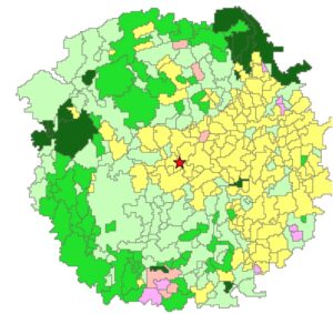
Constraints and opportunity mapping
Clear visualisation of ecological sensitivities, helping identify risks and opportunities early in a project lifecycle.
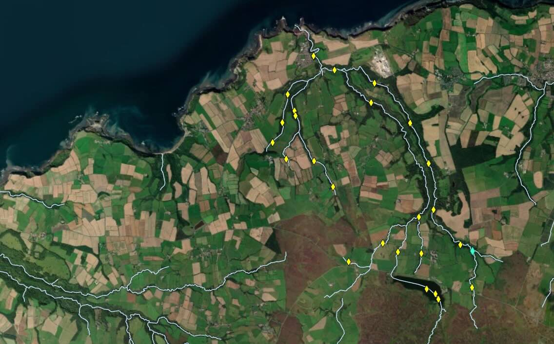
Remote sensing and aerial interpretation
Utilising a rapidly growing field in ecology and environmental science that studies and analyses satellite and drone imagery to identify landscape features, monitor habitat change, assess vegetation health and support land-use planning.
Interactive and web mapping
Creation of web-based maps for stakeholder engagement, reporting and project collaboration.
Geospatial reporting support
Professional GIS outputs for Preliminary Ecological Appraisals (PEAs), Ecological Impact Assessments (EcIAs), Biodiversity Net Gain (BNG) calculations, site management plans, and more.
Fieldwork data collection
Design and deployment of mobile survey workflows, such as ArcGIS Field Maps, to steamline ecological data collection in the field.
For more information or to discuss how our GIS services can support your project, please contact us.